 vesseltracker.com
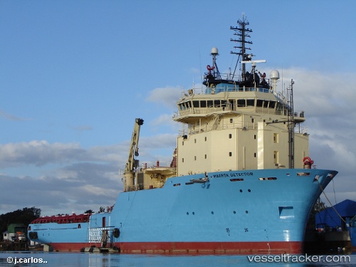
Vessel Maersk Detector IMO: 9298911, MMSI: 316013360 Offshore Tug Supply Ship
Live AIS position:
UTC. Near North Saanich),
updated 2024-11-19 13:58:09 UTC.
Find the position of the vessel Maersk Detector on the map. The latter are known coordinates and path.
marine traffic ship tracker show on live map
The current position of vessel Maersk Detector is 48.65205 lat / -123.44972 lng. Updated: 2024-11-19 13:58:09 UTCCurrently sailing under the flag of Canada
Maersk Detector built in 2006 year
Deadweight:
4027 tDetails:
Last coordinates of the vessel:
2024-11-19 13:58:09 UTC, 48.65205, -123.44972, course: 72, speed: 4.8