 vesseltracker.com
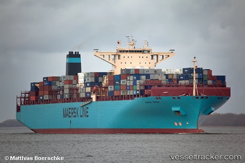
Vessel Maersk Emden IMO: 9456769, MMSI: 219056000 Container Ship
UTC, 9.27896, 110.03693, course: 27, speed: 14
UTC, 9.56098, 110.16770, course: 27, speed: 14.2
2026-02-21 03:39:51 UTC, 10.05725, 110.40448, course: 24, speed: 14.1
Live AIS position:
UTC. 114 nm E of Ruby),
updated 2026-02-21 03:39:51 UTC.
Find the position of the vessel Maersk Emden on the map. The latter are known coordinates and path.
marine traffic ship tracker show on live map
The current position of vessel Maersk Emden is 10.05725 lat / 110.40448 lng. Updated: 2026-02-21 03:39:51 UTCDetails:
Last coordinates of the vessel:
UTC, 8.93457, 109.87533, course: 28, speed: 14.1UTC, 9.27896, 110.03693, course: 27, speed: 14
UTC, 9.56098, 110.16770, course: 27, speed: 14.2
2026-02-21 03:39:51 UTC, 10.05725, 110.40448, course: 24, speed: 14.1