 vesseltracker.com
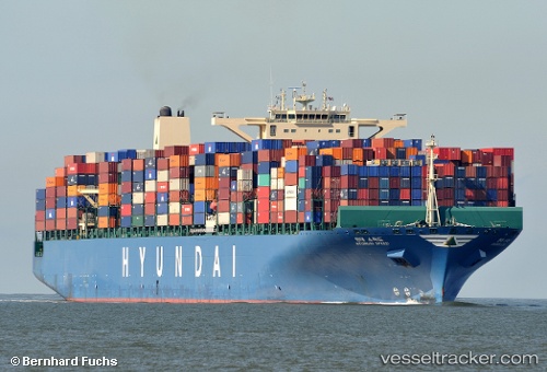
Vessel Maersk Exeter IMO: 9475698, MMSI: 241313000 Container Ship
UTC, 2.41539, -11.51977, course: 321, speed: 17.4
UTC, 2.98222, -11.95026, course: 321, speed: 17.2
2026-02-21 03:26:45 UTC, 3.18099, -12.10030, course: 323, speed: 17.1
Live AIS position:
UTC. 202 nm SW of Buchanan),
updated 2026-02-21 03:26:45 UTC.
Find the position of the vessel Maersk Exeter on the map. The latter are known coordinates and path.
marine traffic ship tracker show on live map
The current position of vessel Maersk Exeter is 3.18099 lat / -12.10030 lng. Updated: 2026-02-21 03:26:45 UTCDetails:
Last coordinates of the vessel:
UTC, 1.89667, -11.12667, course: -1, speed: 17UTC, 2.41539, -11.51977, course: 321, speed: 17.4
UTC, 2.98222, -11.95026, course: 321, speed: 17.2
2026-02-21 03:26:45 UTC, 3.18099, -12.10030, course: 323, speed: 17.1