 vesseltracker.com
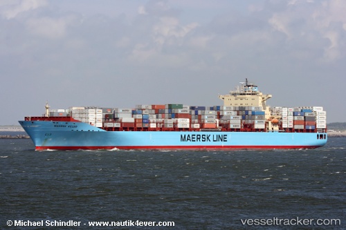
Vessel Maersk Hartford IMO: 9333008, MMSI: 338403000 Container Ship
UTC, 32.71201, -79.78872, course: 120, speed: 13.9
UTC, 32.61192, -79.58267, course: 152, speed: 8.7
2026-02-21 02:20:38 UTC, 32.15457, -79.91788, course: 230, speed: 13.5
Live AIS position:
UTC. 28 nm S of Kiawah Island),
updated 2026-02-21 02:20:38 UTC.
Find the position of the vessel Maersk Hartford on the map. The latter are known coordinates and path.
marine traffic ship tracker show on live map
The current position of vessel Maersk Hartford is 32.15457 lat / -79.91788 lng. Updated: 2026-02-21 02:20:38 UTCCurrently sailing under the flag of USA
Maersk Hartford built in 2007 year
Deadweight:
84783 tDetails:
Last coordinates of the vessel:
UTC, 32.90063, -79.96056, course: 40, speed: 0UTC, 32.71201, -79.78872, course: 120, speed: 13.9
UTC, 32.61192, -79.58267, course: 152, speed: 8.7
2026-02-21 02:20:38 UTC, 32.15457, -79.91788, course: 230, speed: 13.5