 vesseltracker.com
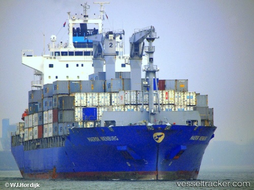
Vessel Maersk Nienburg IMO: 9446104, MMSI: 477711300 Container Ship
Live AIS position:
UTC. Near Pijp Tabak),
updated 2024-11-08 09:16:16 UTC.
Find the position of the vessel Maersk Nienburg on the map. The latter are known coordinates and path.
marine traffic ship tracker show on live map
The current position of vessel Maersk Nienburg is 51.25897 lat / 4.37385 lng. Updated: 2024-11-08 09:16:16 UTCDetails:
Last coordinates of the vessel:
2024-11-08 09:16:16 UTC, 51.25897, 4.37385, course: 92, speed: 0