 vesseltracker.com
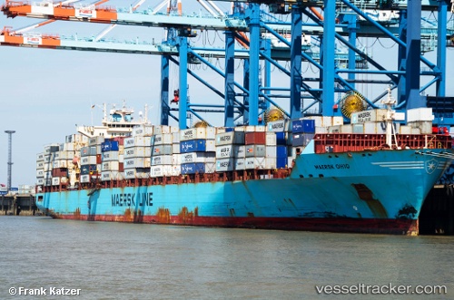
Vessel Maersk Ohio IMO: 9298698, MMSI: 367775000 Container Ship
UTC, -1.59833, -39.36167, course: -1, speed: 17
UTC, -1.72479, -39.17781, course: 122, speed: 16.9
2026-02-21 08:15:12 UTC, -2.17833, -38.50667, course: -1, speed: 17
Live AIS position:
UTC. 84 nm N of Pecém Pt/São Gonçalo do Amarante),
updated 2026-02-21 08:15:12 UTC.
Find the position of the vessel Maersk Ohio on the map. The latter are known coordinates and path.
marine traffic ship tracker show on live map
The current position of vessel Maersk Ohio is -2.17833 lat / -38.50667 lng. Updated: 2026-02-21 08:15:12 UTCCurrently sailing under the flag of USA
Maersk Ohio built in 2006 year
Deadweight:
61454 tDetails:
Last coordinates of the vessel:
UTC, -1.13399, -40.05009, course: 125, speed: 17.6UTC, -1.59833, -39.36167, course: -1, speed: 17
UTC, -1.72479, -39.17781, course: 122, speed: 16.9
2026-02-21 08:15:12 UTC, -2.17833, -38.50667, course: -1, speed: 17