 vesseltracker.com
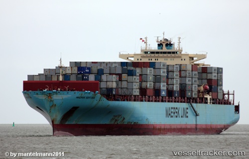
Vessel Maersk Sentosa IMO: 9315202, MMSI: 369246000 Container Ship
UTC, 23.14286, 63.70992, course: 305, speed: 1.3
UTC, 23.12340, 63.69770, course: 305, speed: 1.3
2026-02-21 08:13:06 UTC, 23.08430, 63.65991, course: 297, speed: 3.2
Live AIS position:
UTC. 209 nm SW of Kiamari),
updated 2026-02-21 08:13:06 UTC.
Find the position of the vessel Maersk Sentosa on the map. The latter are known coordinates and path.
marine traffic ship tracker show on live map
The current position of vessel Maersk Sentosa is 23.08430 lat / 63.65991 lng. Updated: 2026-02-21 08:13:06 UTCCurrently sailing under the flag of USA
Maersk Sentosa built in 2007 year
Deadweight:
85250 tDetails:
Last coordinates of the vessel:
UTC, 23.21651, 63.72247, course: 102, speed: 11.4UTC, 23.14286, 63.70992, course: 305, speed: 1.3
UTC, 23.12340, 63.69770, course: 305, speed: 1.3
2026-02-21 08:13:06 UTC, 23.08430, 63.65991, course: 297, speed: 3.2