 vesseltracker.com
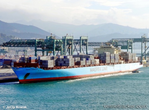
Vessel Maersk Serangoon IMO: 9315214, MMSI: 565449000 Container Ship
UTC, 40.30327, -73.53591, course: 308, speed: 11
UTC, 40.40964, -73.73699, course: 305, speed: 3.6
2026-02-21 08:11:47 UTC, 40.58525, -74.03573, course: 346, speed: 3.7
Live AIS position:
UTC. Near Tompkinsville),
updated 2026-02-21 08:11:47 UTC.
Find the position of the vessel Maersk Serangoon on the map. The latter are known coordinates and path.
marine traffic ship tracker show on live map
The current position of vessel Maersk Serangoon is 40.58525 lat / -74.03573 lng. Updated: 2026-02-21 08:11:47 UTCCurrently sailing under the flag of Singapore
Maersk Serangoon built in 2007 year
Deadweight:
85250 tDetails:
Last coordinates of the vessel:
UTC, 40.01259, -72.90305, course: 296, speed: 17.3UTC, 40.30327, -73.53591, course: 308, speed: 11
UTC, 40.40964, -73.73699, course: 305, speed: 3.6
2026-02-21 08:11:47 UTC, 40.58525, -74.03573, course: 346, speed: 3.7