 vesseltracker.com
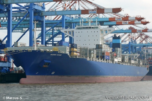
Vessel Maersk Shams IMO: 9726669, MMSI: 563006800 Container Ship
UTC, 40.21934, -73.74838, course: 355, speed: 9.4
UTC, 40.43405, -73.79977, course: 340, speed: 7.6
2026-02-21 08:11:47 UTC, 40.64721, -74.09907, course: 274, speed: 6.2
Live AIS position:
UTC. Near Tompkinsville),
updated 2026-02-21 08:11:47 UTC.
Find the position of the vessel Maersk Shams on the map. The latter are known coordinates and path.
marine traffic ship tracker show on live map
The current position of vessel Maersk Shams is 40.64721 lat / -74.09907 lng. Updated: 2026-02-21 08:11:47 UTCDetails:
Last coordinates of the vessel:
UTC, 39.84553, -73.69907, course: 353, speed: 11.7UTC, 40.21934, -73.74838, course: 355, speed: 9.4
UTC, 40.43405, -73.79977, course: 340, speed: 7.6
2026-02-21 08:11:47 UTC, 40.64721, -74.09907, course: 274, speed: 6.2