 vesseltracker.com
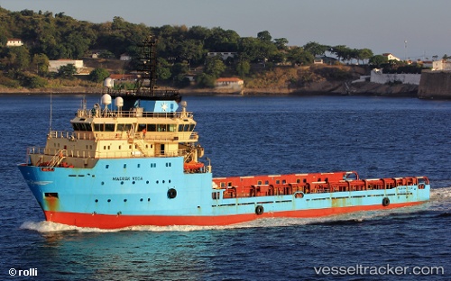
Vessel Maersk Vega IMO: 9294082, MMSI: 710001720 Offshore Tug Supply Ship
UTC, -22.79833, -40.76167, course: -1, speed: 0
UTC, -22.79833, -40.76167, course: -1, speed: 0
2026-02-21 08:09:02 UTC, -22.72712, -40.63442, course: 55, speed: 8
Live AIS position:
UTC. 13 nm W of Fluminense FPSO),
updated 2026-02-21 08:09:02 UTC.
Find the position of the vessel Maersk Vega on the map. The latter are known coordinates and path.
marine traffic ship tracker show on live map
The current position of vessel Maersk Vega is -22.72712 lat / -40.63442 lng. Updated: 2026-02-21 08:09:02 UTCDetails:
Last coordinates of the vessel:
UTC, -22.79833, -40.76167, course: -1, speed: 0UTC, -22.79833, -40.76167, course: -1, speed: 0
UTC, -22.79833, -40.76167, course: -1, speed: 0
2026-02-21 08:09:02 UTC, -22.72712, -40.63442, course: 55, speed: 8