 vesseltracker.com
Find the position of the vessel NORMA on the map. The latter are known coordinates and path.
marine traffic ship tracker show on live map
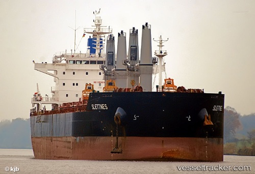
The current position of vessel NORMA is -5.93157 lat / 118.88765 lng. Updated: 2025-11-05 00:53:08 UTCCurrently sailing under the flag of Liberia
NORMA built in 2010 year
Deadweight:
58018 tDetails:
Last coordinates of the vessel:
UTC, -6.13643, 118.41700, course: 67, speed: 10.3UTC, -6.04707, 118.61692, course: 66, speed: 10.6
UTC, -6.01100, 118.69917, course: 66, speed: 10.8
2025-11-05 00:53:08 UTC, -5.93157, 118.88765, course: 70, speed: 10.5