 vesseltracker.com
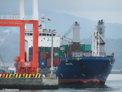
Live AIS position:
35.07755° N, 128.79103° E UTC. Near BUSAN NEW PORT),
updated 2025-11-19 15:57:38 UTC.
Find the position of the vessel Magna on the map. The latter are known coordinates and path.
marine traffic ship tracker show on live map
The current position of vessel Magna is 35.07755 lat / 128.79103 lng. Updated: 2025-11-19 15:57:38 UTCCurrently sailing under the flag of Bahamas
Magna built in 2004 year
Deadweight:
6913 tDetails:
Last coordinates of the vessel:
UTC, 35.07753, 128.79102, course: 269, speed: 0UTC, 35.07753, 128.79102, course: 270, speed: 0
UTC, 35.07755, 128.79103, course: 270, speed: 0
2025-11-19 15:57:38 UTC, 35.07755, 128.79103, course: 270, speed: 0