 vesseltracker.com
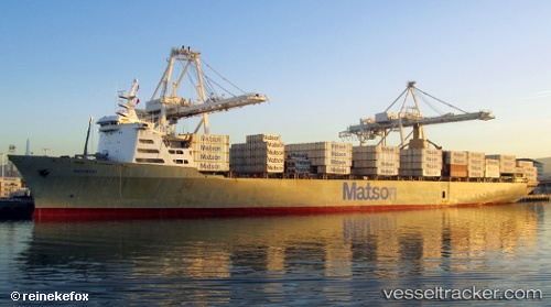
Vessel Mahimahi IMO: 7907996, MMSI: 366563000 Container Ship
UTC, 27.17576, -145.99532, course: 61, speed: 22.1
UTC, 27.50167, -145.32333, course: -1, speed: 21
2026-02-22 13:22:02 UTC, 27.74688, -144.84123, course: 60, speed: 21.3
Live AIS position:
UTC. Open sea (no nearby ports in database)),
updated 2026-02-22 13:22:02 UTC.
Find the position of the vessel Mahimahi on the map. The latter are known coordinates and path.
marine traffic ship tracker show on live map
The current position of vessel Mahimahi is 27.74688 lat / -144.84123 lng. Updated: 2026-02-22 13:22:02 UTCCurrently sailing under the flag of USA
Mahimahi built in 1983 year
Deadweight:
35149 tDetails:
Last coordinates of the vessel:
UTC, 26.77131, -146.82231, course: 59, speed: 21.5UTC, 27.17576, -145.99532, course: 61, speed: 22.1
UTC, 27.50167, -145.32333, course: -1, speed: 21
2026-02-22 13:22:02 UTC, 27.74688, -144.84123, course: 60, speed: 21.3