 vesseltracker.com
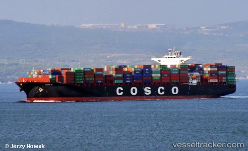
Vessel Maira Xl IMO: 9710232, MMSI: 636016985 Container Ship
UTC, 14.06503, 110.34912, course: 199, speed: 7.5
UTC, 13.80618, 110.25277, course: 187, speed: 7.2
2026-02-22 09:39:58 UTC, 13.60044, 110.20628, course: 196, speed: 8.1
Live AIS position:
UTC. 24 nm SE of Tan Cang Qui Nhon),
updated 2026-02-22 09:39:58 UTC.
Find the position of the vessel Maira Xl on the map. The latter are known coordinates and path.
marine traffic ship tracker show on live map
The current position of vessel Maira Xl is 13.60044 lat / 110.20628 lng. Updated: 2026-02-22 09:39:58 UTCCurrently sailing under the flag of Liberia
Details:
Last coordinates of the vessel:
UTC, 14.26333, 110.42833, course: -1, speed: 14UTC, 14.06503, 110.34912, course: 199, speed: 7.5
UTC, 13.80618, 110.25277, course: 187, speed: 7.2
2026-02-22 09:39:58 UTC, 13.60044, 110.20628, course: 196, speed: 8.1