 vesseltracker.com
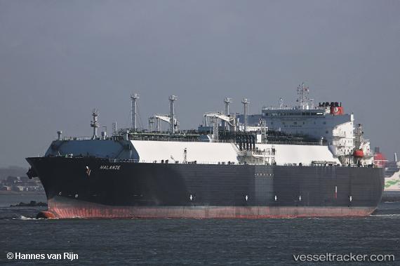
Vessel Malanje IMO: 9490959, MMSI: 311038600 Lng Tanker
UTC, 22.93167, -17.20667, course: -1, speed: 14
UTC, 22.66966, -17.30714, course: 199, speed: 15.3
2026-02-23 17:30:00 UTC, 22.14167, -17.51333, course: -1, speed: 15
Live AIS position:
UTC. 81 nm N of Nouadhibou),
updated 2026-02-23 17:30:00 UTC.
Find the position of the vessel Malanje on the map. The latter are known coordinates and path.
marine traffic ship tracker show on live map
The current position of vessel Malanje is 22.14167 lat / -17.51333 lng. Updated: 2026-02-23 17:30:00 UTCCurrently sailing under the flag of Bahamas
Malanje built in 2011 year
Deadweight:
82728 tDetails:
Last coordinates of the vessel:
UTC, 23.37197, -16.99058, course: 200, speed: 14.9UTC, 22.93167, -17.20667, course: -1, speed: 14
UTC, 22.66966, -17.30714, course: 199, speed: 15.3
2026-02-23 17:30:00 UTC, 22.14167, -17.51333, course: -1, speed: 15