 vesseltracker.com
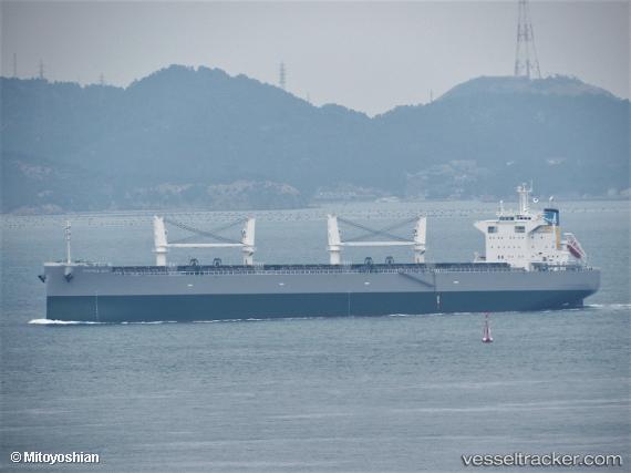
Vessel Mamma Mia IMO: 9846548, MMSI: 636019068 Bulk Carrier
UTC, 37.49596, 126.61674, course: 268, speed: 0
UTC, 37.49598, 126.61670, course: 268, speed: 0.1
2026-02-23 20:08:28 UTC, 37.49596, 126.61671, course: 269, speed: 0
Live AIS position:
UTC. Near Incheon),
updated 2026-02-23 20:08:28 UTC.
Find the position of the vessel Mamma Mia on the map. The latter are known coordinates and path.
marine traffic ship tracker show on live map
The current position of vessel Mamma Mia is 37.49596 lat / 126.61671 lng. Updated: 2026-02-23 20:08:28 UTCDetails:
Last coordinates of the vessel:
UTC, 37.49595, 126.61671, course: 268, speed: 0UTC, 37.49596, 126.61674, course: 268, speed: 0
UTC, 37.49598, 126.61670, course: 268, speed: 0.1
2026-02-23 20:08:28 UTC, 37.49596, 126.61671, course: 269, speed: 0