 vesseltracker.com
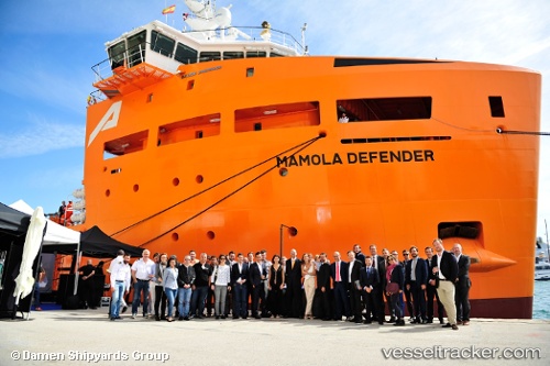
Vessel Mamola Defender IMO: 9714159, MMSI: 256407000 Offshore Tug Supply Ship
Live AIS position:
UTC. Near Luanda),
updated 2025-04-25 09:39:07 UTC.
Find the position of the vessel Mamola Defender on the map. The latter are known coordinates and path.
marine traffic ship tracker show on live map
The current position of vessel Mamola Defender is -8.79699 lat / 13.25709 lng. Updated: 2025-04-25 09:39:07 UTCCurrently sailing under the flag of Malta
Details:
Last coordinates of the vessel:
2025-04-25 09:39:07 UTC, -8.79699, 13.25709, course: 243, speed: 0