 vesseltracker.com
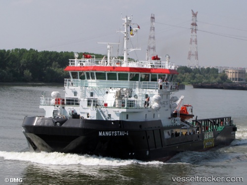
Find the position of the vessel Mangystau 4 on the map. The latter are known coordinates and path.
marine traffic ship tracker show on live map
The current position of vessel Mangystau 4 is 44.665 lat / 50.2109 lng. Updated: 2024-04-23 14:42:42 UTCDetails:
Last coordinates of the vessel:
UTC, 44.665, 50.2109, course: 133, speed: 8.6UTC, 44.665, 50.2109, course: 133, speed: 8.6
UTC, 44.665, 50.2109, course: 133, speed: 8.6
UTC, 44.665, 50.2109, course: 133, speed: 8.6
2024-04-23 14:42:42 UTC, 44.665, 50.2109, course: 133, speed: 8.6