 vesseltracker.com
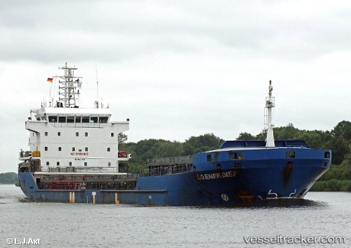
Vessel Manisa Kate IMO: 9421099, MMSI: 244710117 Multi Purpose Carrier
UTC, 37.19167, -1.36833, course: -1, speed: 11
UTC, 36.94226, -1.62961, course: 220, speed: 11.2
2026-02-25 15:32:18 UTC, 36.69500, -1.87833, course: -1, speed: 11
Live AIS position:
UTC. 17 nm S of CARBONERAS),
updated 2026-02-25 15:32:18 UTC.
Find the position of the vessel Manisa Kate on the map. The latter are known coordinates and path.
marine traffic ship tracker show on live map
The current position of vessel Manisa Kate is 36.69500 lat / -1.87833 lng. Updated: 2026-02-25 15:32:18 UTCCurrently sailing under the flag of Netherlands
Manisa Kate built in 2008 year
Deadweight:
8100 tDetails:
Last coordinates of the vessel:
UTC, 37.56457, -0.98640, course: 231, speed: 10.1UTC, 37.19167, -1.36833, course: -1, speed: 11
UTC, 36.94226, -1.62961, course: 220, speed: 11.2
2026-02-25 15:32:18 UTC, 36.69500, -1.87833, course: -1, speed: 11