 vesseltracker.com
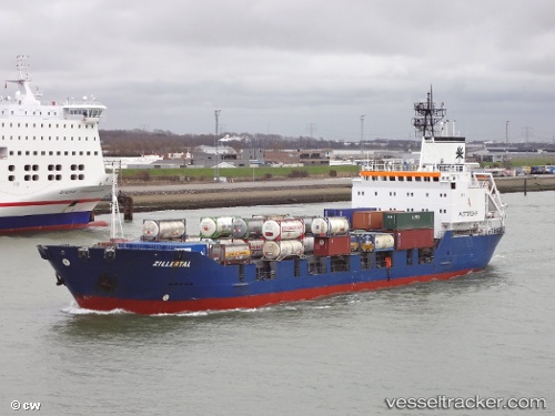
Vessel Manisa M IMO: 8918734, MMSI: 518100677 Multi Purpose Carrier
Live AIS position:
UTC. Near Alexandria),
updated 2024-07-02 09:38:44 UTC.
Find the position of the vessel Manisa M on the map. The latter are known coordinates and path.
marine traffic ship tracker show on live map
The current position of vessel Manisa M is 31.17686 lat / 29.87065 lng. Updated: 2024-07-02 09:38:44 UTCCurrently sailing under the flag of Cook Is
Manisa M built in 1996 year
Deadweight:
7177 tDetails:
Last coordinates of the vessel:
2024-07-02 09:38:44 UTC, 31.17686, 29.87065, course: 43, speed: 0