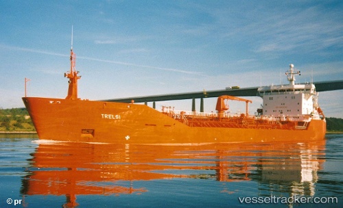
vessel Manitoulin IMO: 8810918, Self Discharging Bulk Carrier
vesseltracker.com
Vessel Manitoulin IMO: 8810918, Self Discharging Bulk Carrier
MMSI: 316014160 callsign: XJBX size: 203x24

Find the position of the vessel Manitoulin on the map. The latter are known coordinates and path.

marine traffic ship tracker show on live map

The current position of vessel Manitoulin is 43.1646 lat / -82.4196 lng. Updated: 2024-04-25 21:05:09 UTC

Currently sailing under the flag of Canada

Manitoulin built in 1991 year

Port of registry:
Port Dover (unincorporated community in Norfolk County, Ontario)
Deadweight:
14986 t

Payload_mass:
14986 tonne
Gross tonnage:
10420
Beam:
23.03 metre
Service entry:
1991-01-01T00:00:00Z

Manufacturer:
Uljanik (shipbuilding company in Pula, Croatia)

Details:


Last coordinates of the vessel:
UTC, 42.6583, -82.5106, course: 358, speed: 10
UTC, 42.8656, -82.4707, course: 354, speed: 9.5
UTC, 43.0784, -82.4136, course: 6, speed: 11.4
2024-04-25 21:05:09 UTC, 43.1646, -82.4196, course: 350, speed: 12.7

Track of the vessel in the last 14 days


Most frequent ports a vessels calls at Manitoulin (316014160):

Montreal, traffic: 8
Contrecoeur, traffic: 4

Link to the map:


Find another ship

Manitoulin (316014160) last ports (portcalls and passsages)

Contrecoeur | 2023-12-03 17:56:49
Montreal | 2023-11-30 05:20:49
Contrecoeur | 2023-11-12 07:31:33
Montreal | 2023-11-12 03:45:24
Montreal | 2023-10-20 13:43:21
Montreal | 2023-10-16 13:38:25
Montreal | 2022-11-21 14:48:43
Contrecoeur | 2022-11-21 11:10:33
Montreal | 2022-11-11 08:47:46
Montreal | 2022-11-07 08:34:06
Contrecoeur | 2022-10-31 23:03:58
Montreal | 2022-10-31 20:54:06