 vesseltracker.com
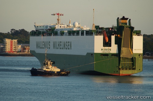
Vessel Manon IMO: 9125633, MMSI: 259526000 Fish Carrier
UTC, 56.84624, -7.44610, course: 214, speed: 12.4
UTC, 56.84624, -7.44610, course: 214, speed: 12.4
2026-02-27 23:54:11 UTC, 55.80075, -9.55974, course: 227, speed: 11.2
Live AIS position:
UTC. 61 nm NW of Derrybeg),
updated 2026-02-27 23:54:11 UTC.
Find the position of the vessel Manon on the map. The latter are known coordinates and path.
marine traffic ship tracker show on live map
The current position of vessel Manon is 55.80075 lat / -9.55974 lng. Updated: 2026-02-27 23:54:11 UTCCurrently sailing under the flag of Norway
Manon built in 1996 year
Deadweight:
2500 tDetails:
Last coordinates of the vessel:
UTC, 56.85187, -7.43889, course: 214, speed: 12.3UTC, 56.84624, -7.44610, course: 214, speed: 12.4
UTC, 56.84624, -7.44610, course: 214, speed: 12.4
2026-02-27 23:54:11 UTC, 55.80075, -9.55974, course: 227, speed: 11.2