 vesseltracker.com
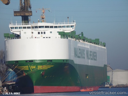
Vessel MANON IMO: 9179725, MMSI: 259001000 Vehicles Carrier
UTC, 13.36500, 116.70167, course: -1, speed: 7
UTC, 13.49667, 116.98500, course: -1, speed: 7
2026-02-27 01:54:07 UTC, 13.64500, 117.31500, course: -1, speed: 16
Live AIS position:
UTC. 164 nm NW of Malampaya),
updated 2026-02-27 01:54:07 UTC.
Find the position of the vessel MANON on the map. The latter are known coordinates and path.
marine traffic ship tracker show on live map
The current position of vessel MANON is 13.64500 lat / 117.31500 lng. Updated: 2026-02-27 01:54:07 UTCCurrently sailing under the flag of Norway
Details:
Last coordinates of the vessel:
UTC, 13.30833, 116.57667, course: -1, speed: 8UTC, 13.36500, 116.70167, course: -1, speed: 7
UTC, 13.49667, 116.98500, course: -1, speed: 7
2026-02-27 01:54:07 UTC, 13.64500, 117.31500, course: -1, speed: 16