 vesseltracker.com
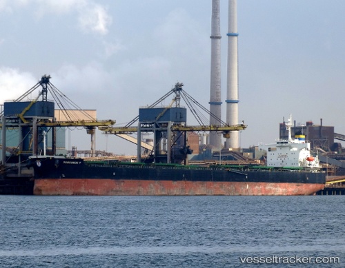
Vessel Manousos P IMO: 9394753, MMSI: 636013647 Bulk Carrier
UTC, -7.94500, -31.95833, course: -1, speed: 10
UTC, -7.58833, -31.77667, course: -1, speed: 10
2026-02-27 20:04:19 UTC, -7.33833, -31.64667, course: -1, speed: 10
Live AIS position:
UTC. 190 nm E of Ilha de Itamaracá),
updated 2026-02-27 20:04:19 UTC.
Find the position of the vessel Manousos P on the map. The latter are known coordinates and path.
marine traffic ship tracker show on live map
The current position of vessel Manousos P is -7.33833 lat / -31.64667 lng. Updated: 2026-02-27 20:04:19 UTCDetails:
Last coordinates of the vessel:
UTC, -8.32822, -32.09419, course: 19, speed: 10.4UTC, -7.94500, -31.95833, course: -1, speed: 10
UTC, -7.58833, -31.77667, course: -1, speed: 10
2026-02-27 20:04:19 UTC, -7.33833, -31.64667, course: -1, speed: 10