 vesseltracker.com
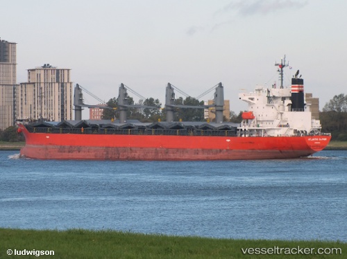
Find the position of the vessel Manta Nilgun on the map. The latter are known coordinates and path.
marine traffic ship tracker show on live map
The current position of vessel Manta Nilgun is 36.956088333333 lat / -75.991855 lng. Updated: 2025-10-16 11:20:54 UTCCurrently sailing under the flag of Marshall Islands
Details:
Last coordinates of the vessel:
UTC, 36.684178333333, -75.296165, course: 327, speed: 10.1UTC, 36.758505, -75.530893333333, course: 292, speed: 11
UTC, 36.862571666667, -75.838303333333, course: 311, speed: 5.8
2025-10-16 11:20:54 UTC, 36.956088333333, -75.991855, course: 320, speed: 10.8
Track of the vessel in the last 14 days