 vesseltracker.com
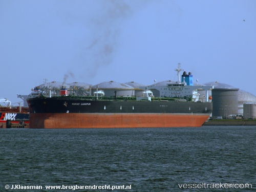
Vessel SANMAR HERALD IMO: 9330563, MMSI: 419002042 Crude Oil Tanker
UTC, 29.70155, 48.79812, course: -1, speed: 0
UTC, 29.70133, 48.79992, course: -1, speed: 0
2026-03-01 10:14:06 UTC, 29.68760, 48.81278, course: -1, speed: 4.3
Live AIS position:
UTC. Near Basrah Oil Terminal),
updated 2026-03-01 10:14:06 UTC.
Find the position of the vessel SANMAR HERALD on the map. The latter are known coordinates and path.
marine traffic ship tracker show on live map
The current position of vessel SANMAR HERALD is 29.68760 lat / 48.81278 lng. Updated: 2026-03-01 10:14:06 UTCCurrently sailing under the flag of India
Details:
Last coordinates of the vessel:
UTC, 29.70303, 48.79638, course: -1, speed: 0UTC, 29.70155, 48.79812, course: -1, speed: 0
UTC, 29.70133, 48.79992, course: -1, speed: 0
2026-03-01 10:14:06 UTC, 29.68760, 48.81278, course: -1, speed: 4.3