 vesseltracker.com
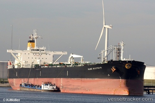
Vessel SOLVANTE IMO: 9346885, MMSI: 314001093 Crude Oil Tanker
UTC, 1.26299, 103.91405, course: 54, speed: 0
UTC, 1.26308, 103.91378, course: 63, speed: 0
2026-03-01 18:19:12 UTC, 1.26167, 103.91333, course: -1, speed: 0
Live AIS position:
UTC. Near Choa Chu Kang),
updated 2026-03-01 18:19:12 UTC.
Find the position of the vessel SOLVANTE on the map. The latter are known coordinates and path.
marine traffic ship tracker show on live map
The current position of vessel SOLVANTE is 1.26167 lat / 103.91333 lng. Updated: 2026-03-01 18:19:12 UTCCurrently sailing under the flag of Barbados
Details:
Last coordinates of the vessel:
UTC, 1.26331, 103.91391, course: 67, speed: 0UTC, 1.26299, 103.91405, course: 54, speed: 0
UTC, 1.26308, 103.91378, course: 63, speed: 0
2026-03-01 18:19:12 UTC, 1.26167, 103.91333, course: -1, speed: 0