 vesseltracker.com
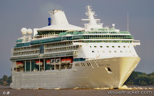
Vessel Marella Discovery 2 IMO: 9070620, MMSI: 311378000 Cruise Ship
UTC, 18.19290, -64.22674, course: 242, speed: 10.5
UTC, 18.30813, -64.51767, course: 341, speed: 11.9
2026-03-02 11:51:46 UTC, 18.42156, -64.61152, course: 126, speed: 0.1
Live AIS position:
UTC. Near ROAD TOWN),
updated 2026-03-02 11:51:46 UTC.
Find the position of the vessel Marella Discovery 2 on the map. The latter are known coordinates and path.
marine traffic ship tracker show on live map
The current position of vessel Marella Discovery 2 is 18.42156 lat / -64.61152 lng. Updated: 2026-03-02 11:51:46 UTCCurrently sailing under the flag of Bahamas
Marella Discovery 2 built in 1995 year
Deadweight:
5200 tDetails:
Last coordinates of the vessel:
UTC, 18.35688, -63.86495, course: 248, speed: 8.9UTC, 18.19290, -64.22674, course: 242, speed: 10.5
UTC, 18.30813, -64.51767, course: 341, speed: 11.9
2026-03-02 11:51:46 UTC, 18.42156, -64.61152, course: 126, speed: 0.1