 vesseltracker.com
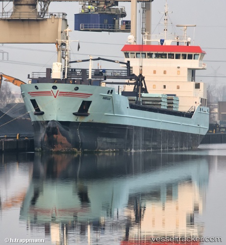
Vessel Marfaam IMO: 9526100, MMSI: 246843000 Multi Purpose Carrier
UTC, 55.62732, 16.06022, course: 73, speed: 13
UTC, 55.74973, 16.76270, course: 74, speed: 13.1
2026-03-02 10:14:14 UTC, 55.74973, 16.76270, course: 74, speed: 13.1
Live AIS position:
UTC. 44 nm SE of Bergkvara),
updated 2026-03-02 10:14:14 UTC.
Find the position of the vessel Marfaam on the map. The latter are known coordinates and path.
marine traffic ship tracker show on live map
The current position of vessel Marfaam is 55.74973 lat / 16.76270 lng. Updated: 2026-03-02 10:14:14 UTCCurrently sailing under the flag of Netherlands
Marfaam built in 2011 year
Deadweight:
8429 tDetails:
Last coordinates of the vessel:
UTC, 55.50303, 15.34945, course: 75, speed: 13.8UTC, 55.62732, 16.06022, course: 73, speed: 13
UTC, 55.74973, 16.76270, course: 74, speed: 13.1
2026-03-02 10:14:14 UTC, 55.74973, 16.76270, course: 74, speed: 13.1