 vesseltracker.com
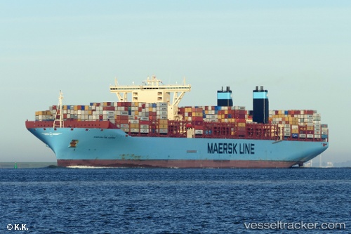
Find the position of the vessel Margrethe Maersk on the map. The latter are known coordinates and path.
marine traffic ship tracker show on live map
The current position of vessel Margrethe Maersk is 1.27662 lat / 103.77968 lng. Updated: 2025-11-05 23:27:08 UTCDetails:
Last coordinates of the vessel:
UTC, 1.27663, 103.77972, course: 121, speed: 0UTC, 1.27663, 103.77968, course: 121, speed: 0
UTC, 1.27663, 103.77968, course: 121, speed: 0
2025-11-05 23:27:08 UTC, 1.27662, 103.77968, course: 121, speed: 0
Track of the vessel in the last 14 days
The ship also appears on the maps: