 vesseltracker.com
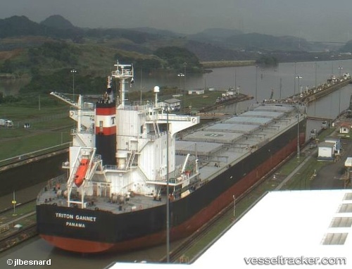
Vessel XSSC BRIGHT IMO: 9414151, MMSI: 352005319 Bulk Carrier
UTC, 53.77605, 170.81683, course: 245, speed: 10.6
UTC, 53.66472, 170.44138, course: 242, speed: 10.7
2026-03-03 07:57:49 UTC, 53.53148, 169.87032, course: 251, speed: 10.8
Live AIS position:
UTC. 127 nm W of Attu Island),
updated 2026-03-03 07:57:49 UTC.
Find the position of the vessel XSSC BRIGHT on the map. The latter are known coordinates and path.
marine traffic ship tracker show on live map
The current position of vessel XSSC BRIGHT is 53.53148 lat / 169.87032 lng. Updated: 2026-03-03 07:57:49 UTCCurrently sailing under the flag of Panama
Details:
Last coordinates of the vessel:
UTC, 53.95960, 171.46626, course: 246, speed: 10.5UTC, 53.77605, 170.81683, course: 245, speed: 10.6
UTC, 53.66472, 170.44138, course: 242, speed: 10.7
2026-03-03 07:57:49 UTC, 53.53148, 169.87032, course: 251, speed: 10.8