 vesseltracker.com
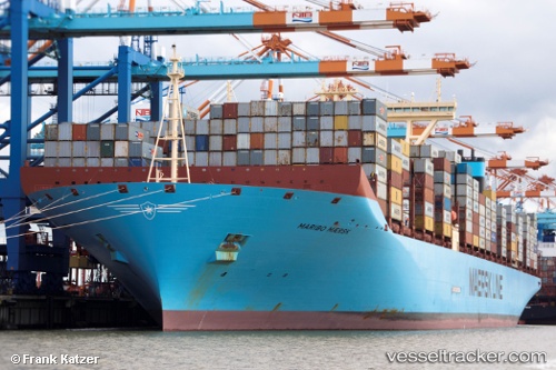
Vessel Maribo Maersk IMO: 9619969, MMSI: 219019094 Container Ship
UTC, 57.68816, 11.86040, course: 270, speed: 0
UTC, 57.68367, 11.84472, course: 254, speed: 6.4
2026-03-06 11:54:31 UTC, 57.61003, 11.50080, course: 299, speed: 10.7
Live Vessel Maribo Maersk Analytics (details, animations, etc.)
Live AIS position: UTC. Near FOTO), updated 2026-03-06 11:54:31 UTC.Find the position of the vessel Maribo Maersk on the map. The latter are known coordinates and path.
marine traffic ship tracker show on live map
The current position of vessel Maribo Maersk is 57.61003 lat / 11.50080 lng. Updated: 2026-03-06 11:54:31 UTCDetails:
Last coordinates of the vessel:
UTC, 57.68815, 11.86038, course: 269, speed: 0UTC, 57.68816, 11.86040, course: 270, speed: 0
UTC, 57.68367, 11.84472, course: 254, speed: 6.4
2026-03-06 11:54:31 UTC, 57.61003, 11.50080, course: 299, speed: 10.7