 vesseltracker.com
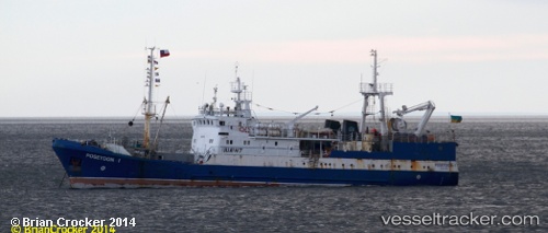
Vessel Marigolds IMO: 9447110, MMSI: 272762000 Fishing Vessel
UTC, -69.90645, -84.84409, course: 318, speed: 7.2
UTC, -69.90645, -84.84409, course: 318, speed: 7.2
2026-03-04 21:56:23 UTC, -69.94500, -84.73833, course: -1, speed: 1
Live Vessel Marigolds Analytics (details, animations, etc.)
Live AIS position: UTC. 387 nm SW of Rothera), updated 2026-03-04 21:56:23 UTC.Find the position of the vessel Marigolds on the map. The latter are known coordinates and path.
marine traffic ship tracker show on live map
The current position of vessel Marigolds is -69.94500 lat / -84.73833 lng. Updated: 2026-03-04 21:56:23 UTCDetails:
Last coordinates of the vessel:
UTC, -69.90645, -84.84409, course: 318, speed: 7.2UTC, -69.90645, -84.84409, course: 318, speed: 7.2
UTC, -69.90645, -84.84409, course: 318, speed: 7.2
2026-03-04 21:56:23 UTC, -69.94500, -84.73833, course: -1, speed: 1