 vesseltracker.com
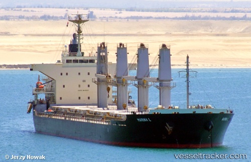
Vessel Marina L IMO: 9675705, MMSI: 636016827 Bulk Carrier
UTC, 41.49731, 3.38144, course: 217, speed: 13.4
UTC, 41.19033, 3.05692, course: 214, speed: 12
2026-03-04 05:47:59 UTC, 40.93064, 2.79129, course: 196, speed: 6.2
Live AIS position:
UTC. 11 nm N of Campredo),
updated 2026-03-04 05:47:59 UTC.
Find the position of the vessel Marina L on the map. The latter are known coordinates and path.
marine traffic ship tracker show on live map
The current position of vessel Marina L is 40.93064 lat / 2.79129 lng. Updated: 2026-03-04 05:47:59 UTCDetails:
Last coordinates of the vessel:
UTC, 41.89422, 3.81782, course: 213, speed: 12.8UTC, 41.49731, 3.38144, course: 217, speed: 13.4
UTC, 41.19033, 3.05692, course: 214, speed: 12
2026-03-04 05:47:59 UTC, 40.93064, 2.79129, course: 196, speed: 6.2