 vesseltracker.com
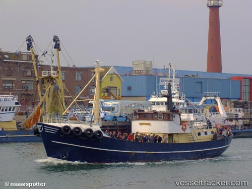
Vessel Marion IMO: 5254448, MMSI: 246187000 Yacht
UTC, 52.09898, 4.26328, course: -1, speed: 0
UTC, 52.09907, 4.26293, course: -1, speed: 0
2026-03-04 10:08:09 UTC, 52.09907, 4.26293, course: -1, speed: 0
Live Vessel Marion Analytics (details, animations, etc.)
Live AIS position: UTC. Near SCHEVENINGEN), updated 2026-03-04 10:08:09 UTC.Find the position of the vessel Marion on the map. The latter are known coordinates and path.
marine traffic ship tracker show on live map
The current position of vessel Marion is 52.09907 lat / 4.26293 lng. Updated: 2026-03-04 10:08:09 UTCCurrently sailing under the flag of Netherlands
Marion built in 1950 year
Deadweight:
442 tDetails:
Last coordinates of the vessel:
UTC, 52.09900, 4.26305, course: -1, speed: 1.1UTC, 52.09898, 4.26328, course: -1, speed: 0
UTC, 52.09907, 4.26293, course: -1, speed: 0
2026-03-04 10:08:09 UTC, 52.09907, 4.26293, course: -1, speed: 0