 vesseltracker.com
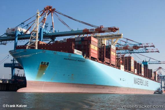
Vessel Marseille Maersk IMO: 9778844, MMSI: 219854000 Container Ship
UTC, -1.07218, -10.57165, course: 147, speed: 19.1
UTC, -1.68613, -10.17230, course: 145, speed: 19
2026-02-27 06:24:33 UTC, -2.23988, -9.80748, course: 143, speed: 18.9
Live AIS position:
UTC. Open sea, approx. 416 nm off the nearest listed port),
updated 2026-02-27 06:24:33 UTC.
Find the position of the vessel Marseille Maersk on the map. The latter are known coordinates and path.
marine traffic ship tracker show on live map
The current position of vessel Marseille Maersk is -2.23988 lat / -9.80748 lng. Updated: 2026-02-27 06:24:33 UTCCurrently sailing under the flag of Denmark
Details:
Last coordinates of the vessel:
UTC, -0.57167, -10.89667, course: -1, speed: 19UTC, -1.07218, -10.57165, course: 147, speed: 19.1
UTC, -1.68613, -10.17230, course: 145, speed: 19
2026-02-27 06:24:33 UTC, -2.23988, -9.80748, course: 143, speed: 18.9