 vesseltracker.com
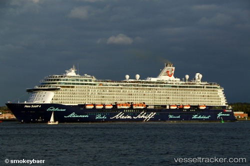
Find the position of the vessel Mein Schiff 4 on the map. The latter are known coordinates and path.
marine traffic ship tracker show on live map
The current position of vessel Mein Schiff 4 is 63.4418 lat / 10.3999 lng. Updated: 2025-09-07 18:24:15 UTCCurrently sailing under the flag of Malta
Details:
Last coordinates of the vessel:
UTC, 63.3332, 8.31929, course: 47, speed: 15.1UTC, 63.5184, 9.16649, course: 62, speed: 15.3
UTC, 63.5253, 9.8734, course: 156, speed: 12
2025-09-07 18:24:15 UTC, 63.4418, 10.3999, course: 44, speed: 0