 vesseltracker.com
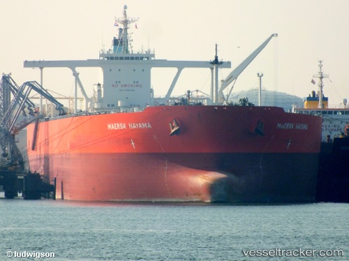
Vessel Mercury Hope IMO: 9395290, MMSI: 357285000 Crude Oil Tanker
UTC, 27.56280, 52.49536, course: -1, speed: 0
UTC, 24.65554, 52.69954, course: 47, speed: 43.3
2026-02-28 20:44:11 UTC, 24.66298, 52.69694, course: -1, speed: 49.1
Live AIS position:
UTC. 21 nm N of Yas Island),
updated 2026-02-28 20:44:11 UTC.
Find the position of the vessel Mercury Hope on the map. The latter are known coordinates and path.
marine traffic ship tracker show on live map
The current position of vessel Mercury Hope is 24.66298 lat / 52.69694 lng. Updated: 2026-02-28 20:44:11 UTCCurrently sailing under the flag of Panama
Mercury Hope built in 2011 year
Deadweight:
297221 tDetails:
Last coordinates of the vessel:
UTC, 27.56280, 52.49536, course: -1, speed: 0UTC, 27.56280, 52.49536, course: -1, speed: 0
UTC, 24.65554, 52.69954, course: 47, speed: 43.3
2026-02-28 20:44:11 UTC, 24.66298, 52.69694, course: -1, speed: 49.1