 vesseltracker.com
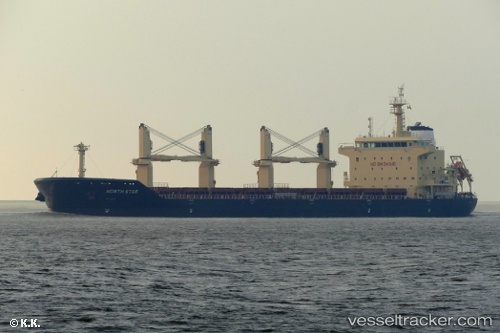
Vessel Merel D IMO: 9740433, MMSI: 215138000 Bulk Carrier
UTC, 14.0286, -147.644, course: 96, speed: 10.1
UTC, 14.0079, -147.234, course: 95, speed: 10.3
2026-02-28 12:05:44 UTC, 13.9945, -146.946, course: 94, speed: 10.5
Live AIS position:
UTC. 138 nm W of Santa Rita),
updated 2026-02-28 12:05:44 UTC.
Find the position of the vessel Merel D on the map. The latter are known coordinates and path.
marine traffic ship tracker show on live map
The current position of vessel Merel D is 13.9945 lat / -146.946 lng. Updated: 2026-02-28 12:05:44 UTCCurrently sailing under the flag of Malta
Details:
Last coordinates of the vessel:
UTC, 14.0451, -148.008, course: 95, speed: 10.2UTC, 14.0286, -147.644, course: 96, speed: 10.1
UTC, 14.0079, -147.234, course: 95, speed: 10.3
2026-02-28 12:05:44 UTC, 13.9945, -146.946, course: 94, speed: 10.5