 vesseltracker.com
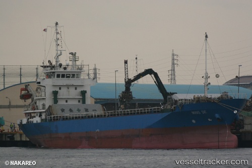
Vessel Ming Da IMO: 9124794, MMSI: 667001750 General Cargo Ship
UTC, 34.11500, 127.09667, course: -1, speed: 10
UTC, 34.07971, 126.65474, course: 268, speed: 10.1
2026-02-17 03:39:21 UTC, 34.13333, 126.32500, course: -1, speed: 8
Live AIS position:
UTC. 11 nm N of Chuja),
updated 2026-02-17 03:39:21 UTC.
Find the position of the vessel Ming Da on the map. The latter are known coordinates and path.
marine traffic ship tracker show on live map
The current position of vessel Ming Da is 34.13333 lat / 126.32500 lng. Updated: 2026-02-17 03:39:21 UTCDetails:
Last coordinates of the vessel:
UTC, 34.11178, 127.41783, course: 284, speed: 9.6UTC, 34.11500, 127.09667, course: -1, speed: 10
UTC, 34.07971, 126.65474, course: 268, speed: 10.1
2026-02-17 03:39:21 UTC, 34.13333, 126.32500, course: -1, speed: 8