 vesseltracker.com
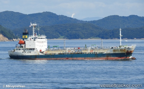
Vessel Miracle Road IMO: 9128661, MMSI: 440812000 Lpg Tanker
Live AIS position:
UTC. Near YALOVA),
updated 2023-07-10 21:45:12 UTC.
Find the position of the vessel Miracle Road on the map. The latter are known coordinates and path.
marine traffic ship tracker show on live map
The current position of vessel Miracle Road is 40.72425 lat / 29.48726 lng. Updated: 2023-07-10 21:45:12 UTCDetails:
Last coordinates of the vessel:
2023-07-10 21:45:12 UTC, 40.72425, 29.48726, course: 334, speed: 0