 vesseltracker.com
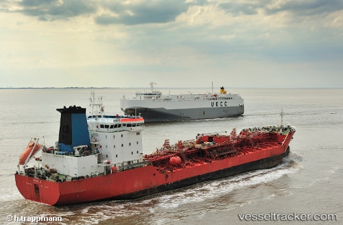
Vessel Miro D IMO: 9243382, MMSI: 229535000 Chemical Oil Products Tanker
UTC, 47.19335, -1.63334, course: 263, speed: 0
UTC, 47.19337, -1.63334, course: 263, speed: 0
2026-02-10 07:47:00 UTC, 47.19336, -1.63335, course: 263, speed: 0
Live AIS position:
UTC. Near Bouguenais),
updated 2026-02-10 07:47:00 UTC.
Find the position of the vessel Miro D on the map. The latter are known coordinates and path.
marine traffic ship tracker show on live map
The current position of vessel Miro D is 47.19336 lat / -1.63335 lng. Updated: 2026-02-10 07:47:00 UTCCurrently sailing under the flag of Malta
Miro D built in 2002 year
Deadweight:
16882 tDetails:
Last coordinates of the vessel:
UTC, 47.19338, -1.63332, course: 263, speed: 0UTC, 47.19335, -1.63334, course: 263, speed: 0
UTC, 47.19337, -1.63334, course: 263, speed: 0
2026-02-10 07:47:00 UTC, 47.19336, -1.63335, course: 263, speed: 0