 vesseltracker.com
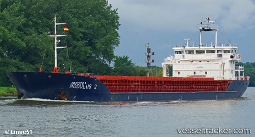
Vessel DREMORA 2 IMO: 9471800, MMSI: 341755000 General Cargo Ship
UTC, 45.25473, 36.51732, course: 352, speed: 14.8
UTC, 45.25473, 36.51732, course: 352, speed: 14.8
2026-02-03 18:53:31 UTC, 45.25473, 36.51732, course: 352, speed: 14.8
Live AIS position:
UTC. Near KOMYSH BURUNSKA),
updated 2026-02-03 18:53:31 UTC.
Find the position of the vessel DREMORA 2 on the map. The latter are known coordinates and path.
marine traffic ship tracker show on live map
The current position of vessel DREMORA 2 is 45.25473 lat / 36.51732 lng. Updated: 2026-02-03 18:53:31 UTCCurrently sailing under the flag of St.Kitts and Nevis
DREMORA 2 built in 2009 year
Deadweight:
5326 tDetails:
Last coordinates of the vessel:
UTC, 44.65003, 36.53423, course: 11, speed: 7UTC, 45.25473, 36.51732, course: 352, speed: 14.8
UTC, 45.25473, 36.51732, course: 352, speed: 14.8
2026-02-03 18:53:31 UTC, 45.25473, 36.51732, course: 352, speed: 14.8