 vesseltracker.com
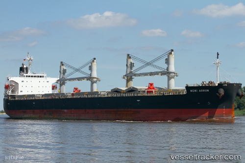
Vessel Momi Arrow IMO: 9385506, MMSI: 372309000 General Cargo Ship
UTC, 49.16408, -123.92448, course: 180, speed: 0
UTC, 49.16412, -123.92443, course: 180, speed: 0
2026-02-09 07:27:19 UTC, 49.16407, -123.92438, course: 180, speed: 0
Live AIS position:
UTC. Near Nanaimo),
updated 2026-02-09 07:27:19 UTC.
Find the position of the vessel Momi Arrow on the map. The latter are known coordinates and path.
marine traffic ship tracker show on live map
The current position of vessel Momi Arrow is 49.16407 lat / -123.92438 lng. Updated: 2026-02-09 07:27:19 UTCDetails:
Last coordinates of the vessel:
UTC, 49.16408, -123.92443, course: 180, speed: 0UTC, 49.16408, -123.92448, course: 180, speed: 0
UTC, 49.16412, -123.92443, course: 180, speed: 0
2026-02-09 07:27:19 UTC, 49.16407, -123.92438, course: 180, speed: 0