 vesseltracker.com
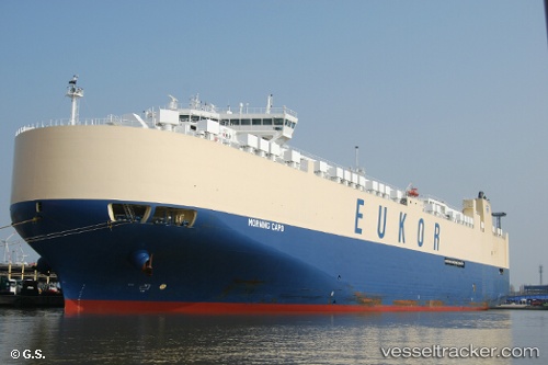
Vessel Morning Capo IMO: 9663295, MMSI: 538005232 Vehicles Carrier
UTC, 48.50078, -132.17174, course: 92, speed: 16.3
UTC, 48.49287, -131.22449, course: 87, speed: 16.3
2026-03-01 09:37:01 UTC, 48.49107, -130.56653, course: 90, speed: 15.3
Live AIS position:
UTC. 166 nm SW of Port Alice),
updated 2026-03-01 09:37:01 UTC.
Find the position of the vessel Morning Capo on the map. The latter are known coordinates and path.
marine traffic ship tracker show on live map
The current position of vessel Morning Capo is 48.49107 lat / -130.56653 lng. Updated: 2026-03-01 09:37:01 UTCDetails:
Last coordinates of the vessel:
UTC, 48.50208, -132.69742, course: 91, speed: 16UTC, 48.50078, -132.17174, course: 92, speed: 16.3
UTC, 48.49287, -131.22449, course: 87, speed: 16.3
2026-03-01 09:37:01 UTC, 48.49107, -130.56653, course: 90, speed: 15.3