 vesseltracker.com
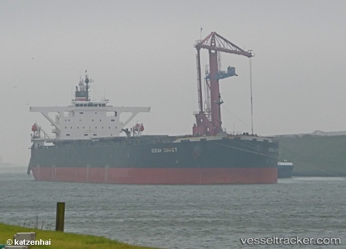
Vessel ES BLUE SEA IMO: 9345609, MMSI: 477891300 Bulk Carrier
UTC, -8.73952, 75.92510, course: 232, speed: 9.4
UTC, -8.94908, 75.65192, course: 233, speed: 8.8
2026-02-28 19:38:37 UTC, -9.10351, 75.44483, course: 234, speed: 8.5
Live AIS position:
UTC. 207 nm SE of Diego Garcia),
updated 2026-02-28 19:38:37 UTC.
Find the position of the vessel ES BLUE SEA on the map. The latter are known coordinates and path.
marine traffic ship tracker show on live map
The current position of vessel ES BLUE SEA is -9.10351 lat / 75.44483 lng. Updated: 2026-02-28 19:38:37 UTCCurrently sailing under the flag of Hong Kong
Details:
Last coordinates of the vessel:
UTC, -8.54220, 76.19142, course: 232, speed: 8.9UTC, -8.73952, 75.92510, course: 232, speed: 9.4
UTC, -8.94908, 75.65192, course: 233, speed: 8.8
2026-02-28 19:38:37 UTC, -9.10351, 75.44483, course: 234, speed: 8.5