 vesseltracker.com
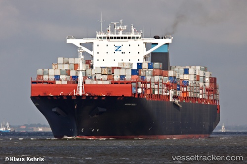
Vessel Msc Emma IMO: 9463047, MMSI: 636018571 Container Ship
UTC, 2.19667, -10.88167, course: -1, speed: 17
UTC, 2.84239, -11.37388, course: 321, speed: 17.9
2026-02-28 21:35:59 UTC, 3.12590, -11.58861, course: 318, speed: 17.6
Live AIS position:
UTC. 185 nm SW of River Cess),
updated 2026-02-28 21:35:59 UTC.
Find the position of the vessel Msc Emma on the map. The latter are known coordinates and path.
marine traffic ship tracker show on live map
The current position of vessel Msc Emma is 3.12590 lat / -11.58861 lng. Updated: 2026-02-28 21:35:59 UTCDetails:
Last coordinates of the vessel:
UTC, 1.88531, -10.64826, course: 321, speed: 18.2UTC, 2.19667, -10.88167, course: -1, speed: 17
UTC, 2.84239, -11.37388, course: 321, speed: 17.9
2026-02-28 21:35:59 UTC, 3.12590, -11.58861, course: 318, speed: 17.6