 vesseltracker.com
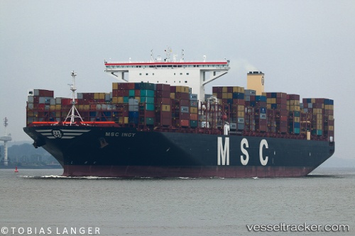
Vessel Msc Ingy IMO: 9755945, MMSI: 636017434 Container Ship
UTC, -22.18028, 11.99663, course: 340, speed: 14.9
UTC, -21.73494, 11.81345, course: 340, speed: 14.8
2026-02-23 14:06:25 UTC, -21.14110, 11.57030, course: 342, speed: 14.9
Live AIS position:
UTC. 162 nm W of Henties Bay (Hentiesbaai)),
updated 2026-02-23 14:06:25 UTC.
Find the position of the vessel Msc Ingy on the map. The latter are known coordinates and path.
marine traffic ship tracker show on live map
The current position of vessel Msc Ingy is -21.14110 lat / 11.57030 lng. Updated: 2026-02-23 14:06:25 UTCCurrently sailing under the flag of Liberia
Details:
Last coordinates of the vessel:
UTC, -22.73970, 12.22723, course: 340, speed: 14.9UTC, -22.18028, 11.99663, course: 340, speed: 14.9
UTC, -21.73494, 11.81345, course: 340, speed: 14.8
2026-02-23 14:06:25 UTC, -21.14110, 11.57030, course: 342, speed: 14.9