 vesseltracker.com
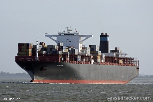
Vessel Msc Natasha IMO: 9463035, MMSI: 636018385 Container Ship
UTC, 13.56405, 111.89051, course: 36, speed: 12.8
UTC, 14.13275, 112.21278, course: 31, speed: 13.5
2026-03-01 06:24:16 UTC, 14.50153, 112.41767, course: 31, speed: 13.4
Live AIS position:
UTC. 157 nm E of Tan Cang Qui Nhon),
updated 2026-03-01 06:24:16 UTC.
Find the position of the vessel Msc Natasha on the map. The latter are known coordinates and path.
marine traffic ship tracker show on live map
The current position of vessel Msc Natasha is 14.50153 lat / 112.41767 lng. Updated: 2026-03-01 06:24:16 UTCCurrently sailing under the flag of Liberia
Msc Natasha built in 2011 year
Deadweight:
141398 tDetails:
Last coordinates of the vessel:
UTC, 13.27873, 111.72406, course: 18, speed: 12.7UTC, 13.56405, 111.89051, course: 36, speed: 12.8
UTC, 14.13275, 112.21278, course: 31, speed: 13.5
2026-03-01 06:24:16 UTC, 14.50153, 112.41767, course: 31, speed: 13.4