 vesseltracker.com
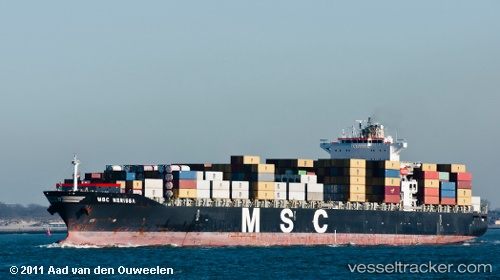
Vessel Msc Nerissa IMO: 9278155, MMSI: 352948000 Container Ship
UTC, 38.35277, -74.15291, course: 285, speed: 9.2
UTC, 38.42176, -74.56902, course: 276, speed: 9.3
2026-03-01 02:03:09 UTC, 38.57252, -74.77516, course: 321, speed: 9.2
Live AIS position:
UTC. 13 nm E of Bethany Beach),
updated 2026-03-01 02:03:09 UTC.
Find the position of the vessel Msc Nerissa on the map. The latter are known coordinates and path.
marine traffic ship tracker show on live map
The current position of vessel Msc Nerissa is 38.57252 lat / -74.77516 lng. Updated: 2026-03-01 02:03:09 UTCCurrently sailing under the flag of Panama
Msc Nerissa built in 2004 year
Deadweight:
68178 tDetails:
Last coordinates of the vessel:
UTC, 38.31334, -73.87138, course: 240, speed: 1.5UTC, 38.35277, -74.15291, course: 285, speed: 9.2
UTC, 38.42176, -74.56902, course: 276, speed: 9.3
2026-03-01 02:03:09 UTC, 38.57252, -74.77516, course: 321, speed: 9.2